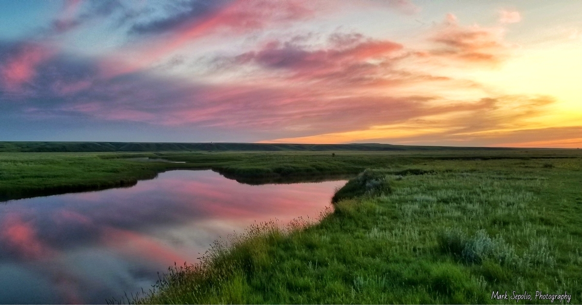
Photo by Mark Sepolio - Poplar River
The Poplar River is a tributary of the Missouri River. It spans 167 miles and is composed of three main forks; West, Middle, and East. All three originate in the Wood Mountain Hills of Saskatchewan, Canada. Each fork of the Poplar flows south out of Canada. The West Fork rises near Killdeer, Saskatchewan and flows Southeast into Northeast Montana past the town of Richland and across Daniels County. The West Poplar Dam is located on the Saskatchewan side of the West Poplar River. It was built in 1957 and is 32 ft. high. The middle fork of the Poplar rises Northwest of Rockglen, Saskatchewan and flows Southeast into Northeastern Montana, and passes West of the town of Scobey. The West and Middle forks unite in the Northern part of Fort Peck Indian Reservation. The combined river flows Southeast, then South-Southwest, before eventually joining the Missouri River just South of the community of Poplar. The East Poplar River begins south of Willow Bunch, Saskatchewan, and flows south out of the hills and meets the Poplar River in Montana, upstream from where the West Poplar River meets it.
The Poplar runs through a mix of tribal and private lands. When fishing private land make sure to obtain landowner permission or access the shoreline at bridge crossings by way of Montana's Stream Access Law. A large part of the lower Poplar River is situated on Fort Peck Indian Reservation lands. These tribal lands allow for an angler to have some great shore access and find many miles of untapped water. Make sure that you have purchased your Tribal Fishing License before heading to the river and wetting a line. There is a nice concrete boat ramp available at the bridge just west of the town of Poplar adjacent to the Highway 2 bridge. This area also has a picnic shelter on-site. Much of the lower Poplar is only navigable by Jet Boat with the exception of unusual high water time frames caused by extreme runoff after a long winter or weather events that bring high amounts of precipitation. When flows are between 350 and 450 CFS, an experienced jet boat angler will be able to run nearly 12 miles up river from the boat ramp until they reach the first oil field concrete slab crossing. In normal flows, boat traffic is almost entirely contained to a 1 mile stretch North of the ramp and the 4 mile stretch South from the ramp to the mouth where it dumps into the Mighty Missouri.
The Poplar river houses a good population of Channel Catfish, Northern Pike, Walleye, Carp, Sauger, Sucker, Ling, and Goldeye. Two more concrete ramps are available from Highway 2 down to the mouth and plenty of great shoreline fishing access is available right at the Mouth where it empties into a much clearer Missouri River. Poplar resident, Doug Marottek, indicates that there are big Cats to be caught throughout this very rural body of water. "It is common for locals to fish the deep holes throughout the lower Poplar River and have success, particularly during the post-spawn which starts during the month of July". Catfishing seems to improve in the northernmost part of the lower Poplar, after the East and West forks have already met the middle fork to make the Poplar River whole. Doug states; "Five to ten pound Catfish happen often in that stretch and 14 to 18 inch "eaters" are very plentiful".
This river plays host to the Annual Fort Peck Reservation Fishing Tournament near the end of May and the Annual Poplar Ice Fishing Contest the first week of February. Both events are founded and directed by Doug Marottek.
Above Information from Montana Cats Staff.
